TrafficCalgary.ca › Stoney Trail
Stoney Trail
Calgary’s ring road – live cameras all the way around
Every live Stoney Trail camera on one page, in order around the ring road: starting at the Trans-Canada Highway by Canada Olympic Park, through the NW past Crowchild and Sarcee, across the NE past Deerfoot, McKnight and 16 Avenue, down through the SE past Glenmore and Macleod, and around the SW past Fish Creek and the Elbow River back to Glenmore Trail.
Stoney Trail NW
 Loading camera…
 Loading camera…
 Loading camera…
 Loading camera…
 Loading camera…
 Loading camera…
 Loading camera…
Stoney Trail NE
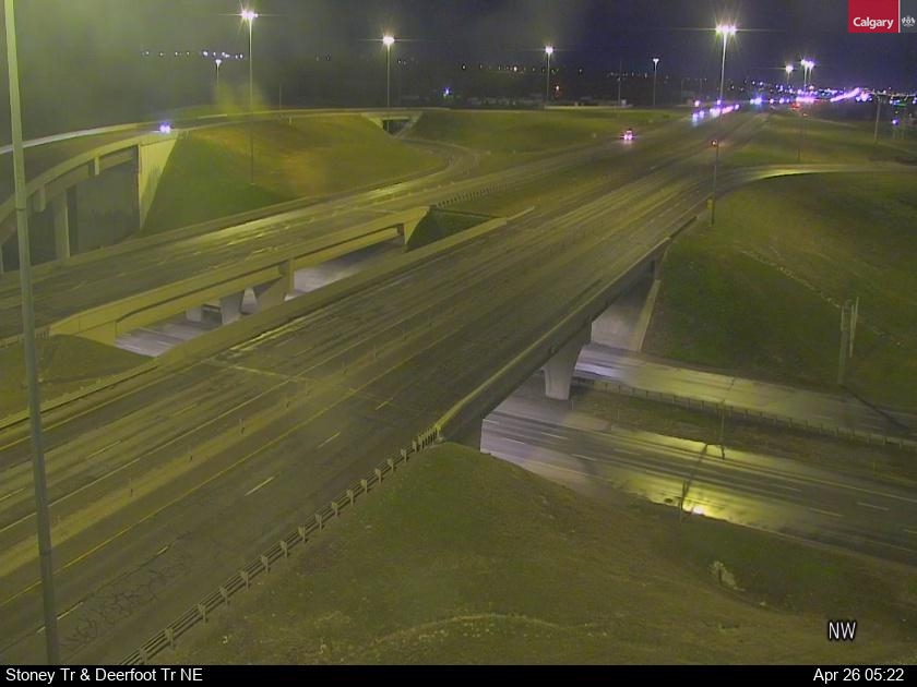 Loading camera…
 Loading camera…
 Loading camera…
 Loading camera…
 Loading camera…
 Loading camera…
Stoney Trail SE
 Loading camera…
 Loading camera…
 Loading camera…
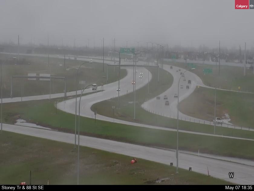 Loading camera…
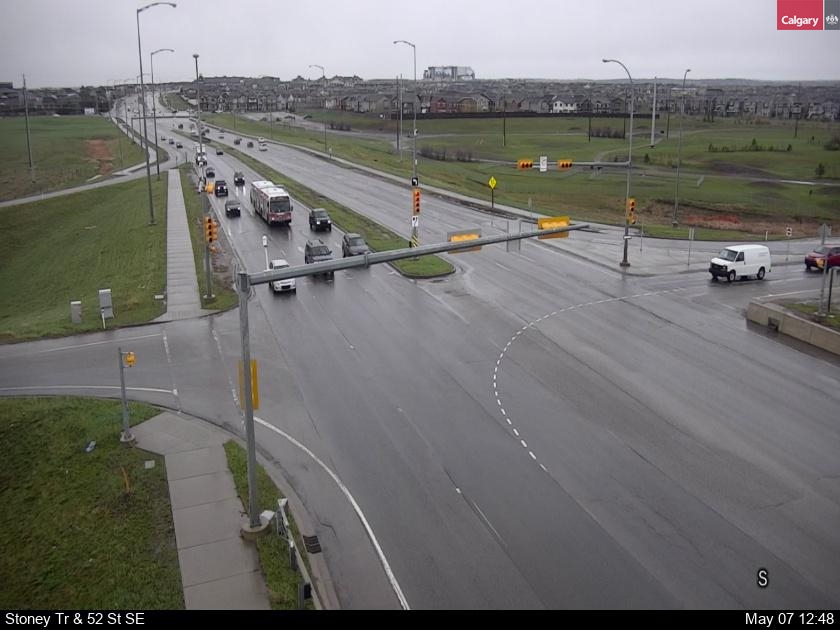 Loading camera…
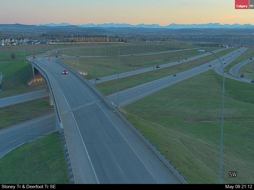 Loading camera…
 Loading camera…
 Loading camera…
Stoney Trail SW
 Loading camera…
 Loading camera…
 Loading camera…
 Loading camera…
 Loading camera…
About the Stoney Trail cameras
Stoney Trail (Highway 201) is the 100-kilometre ring road around Calgary. It is the fastest way across the city when Deerfoot is jammed, but its long, exposed stretches drift badly in a snowstorm. The Alberta 511 cameras at the big interchanges show the ramps where most winter collisions happen.
Every picture reloads itself about once a minute while it is on your screen, so there is no need to refresh the page.
Driving in a Calgary snowstorm
When snow hits Calgary, the trouble spots are the hills and interchange ramps – Deerfoot Trail at Glenmore, Memorial and McKnight, the Crowchild and Bow Trail ramps, and Stoney Trail’s long ramps. Look at the cameras along your whole route before you leave, allow extra time, and check 511 Alberta for collisions and closures. In a bad storm the City may declare a snow route parking ban; see calgary.ca.