TrafficCalgary.ca › Deerfoot Trail
Deerfoot Trail
Live traffic cameras from Stoney Trail NE to Stoney Trail SE
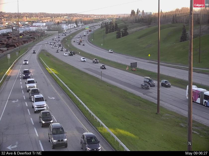
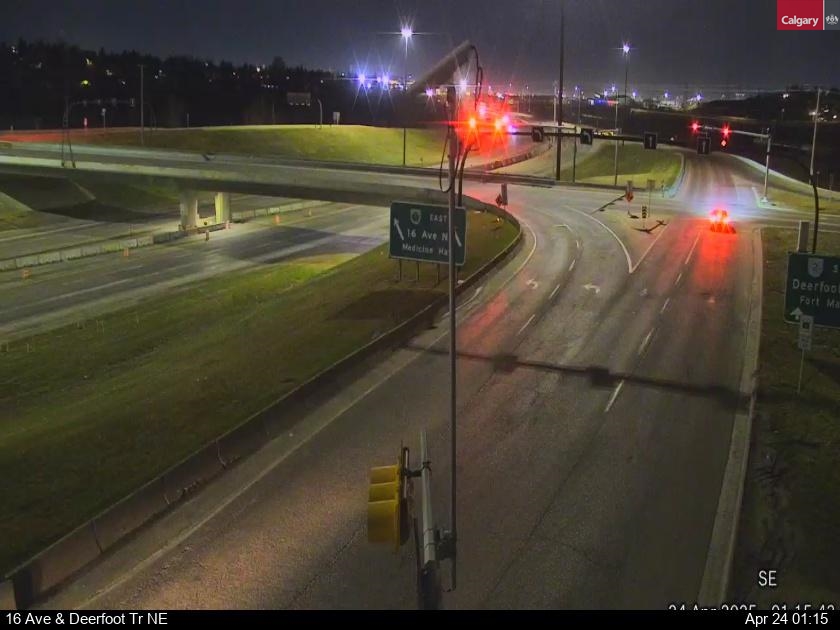
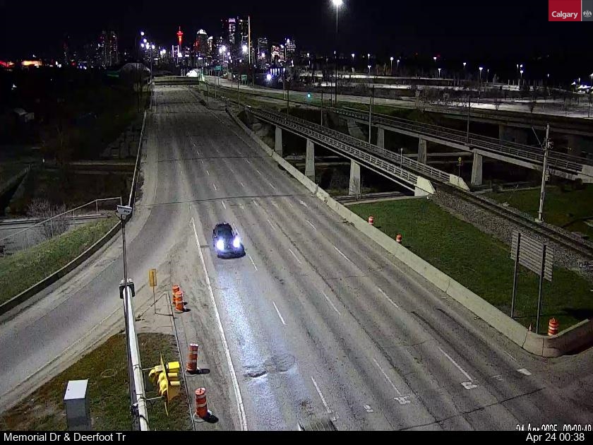
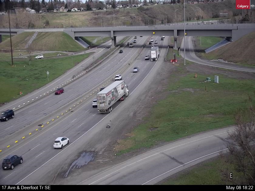
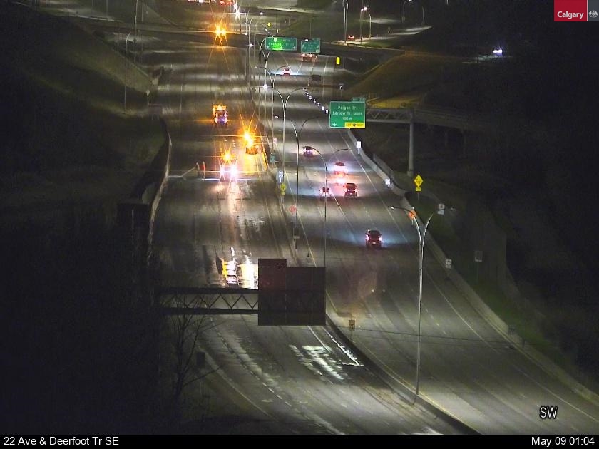
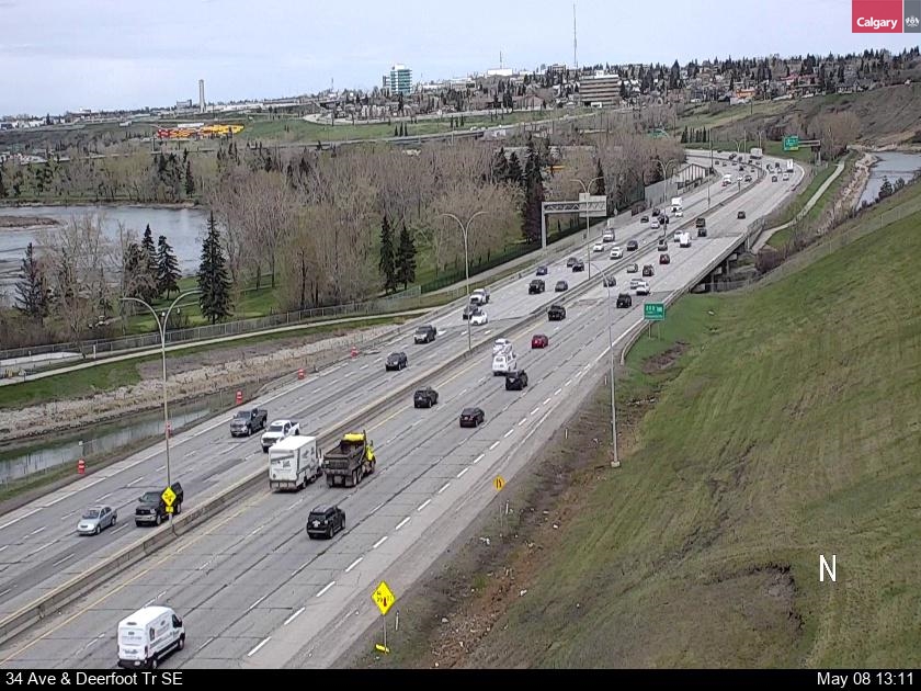
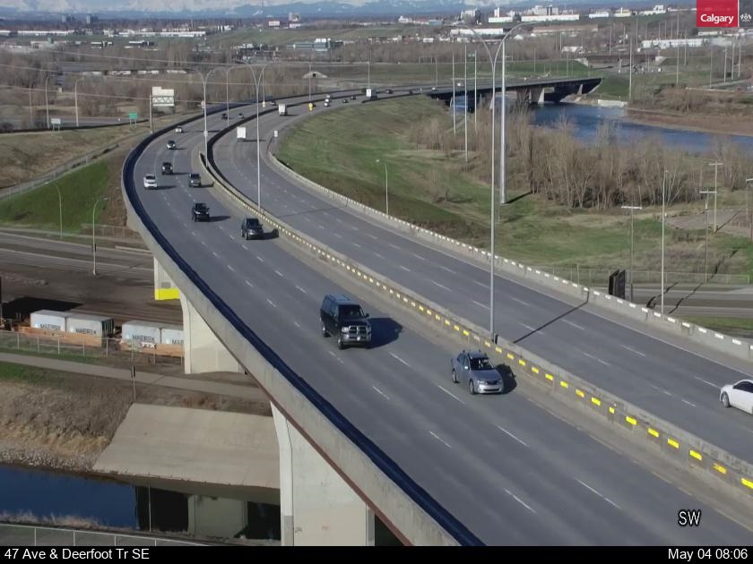
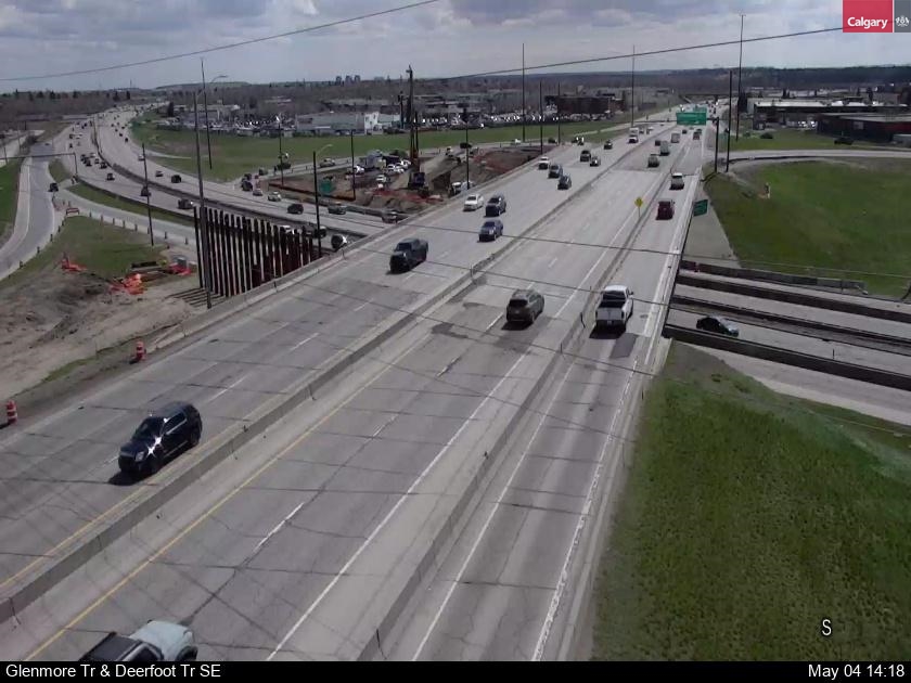
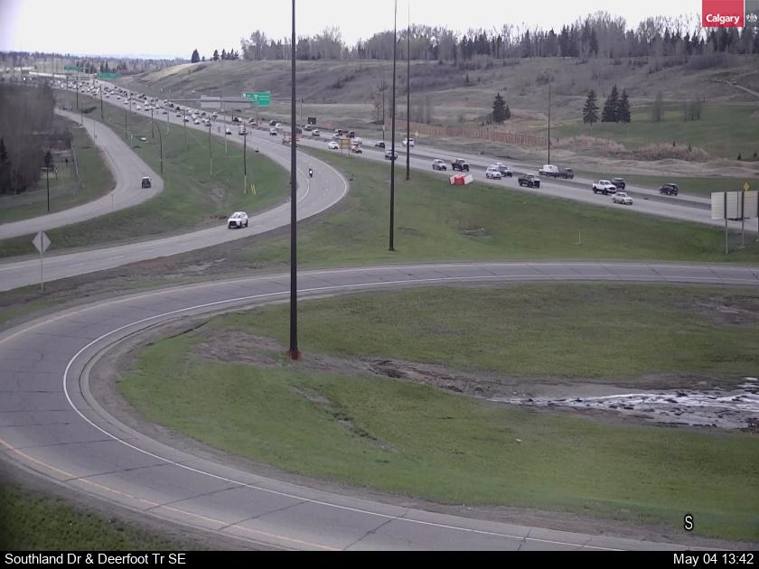
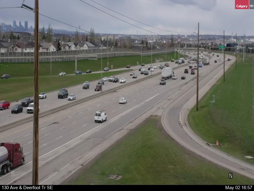
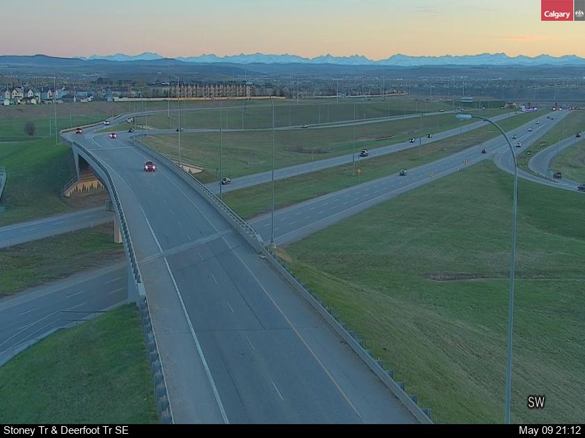
Every live Deerfoot Trail traffic camera on one page, in order from north to south – from the Stoney Trail interchange in the north, past the airport, Country Hills, McKnight and 16 Avenue, through Memorial Drive and Glenmore Trail, over the Calf Robe Bridge to Stoney Trail SE. Deerfoot is Highway 2 and Calgary’s busiest road.
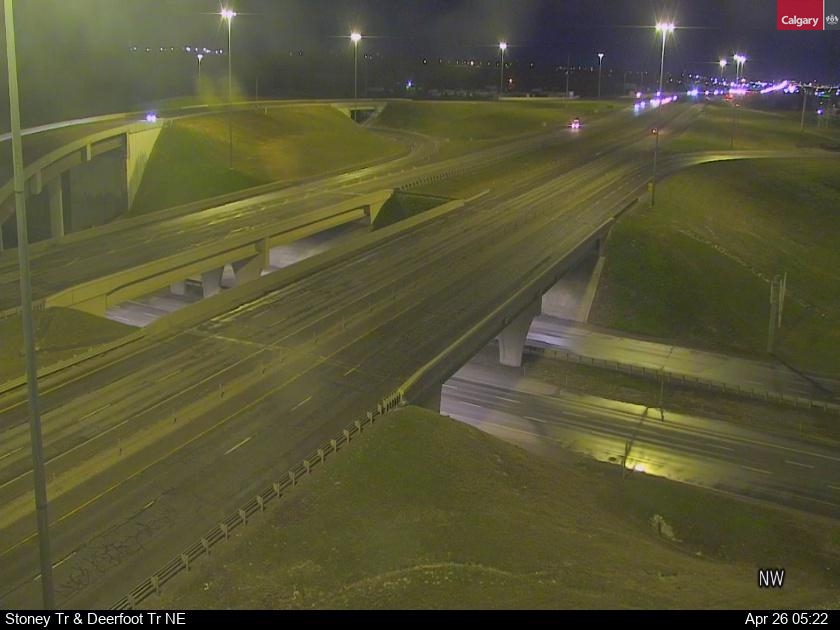 Loading camera…
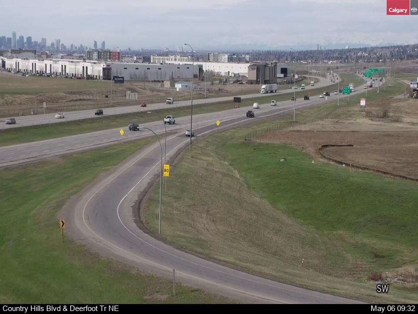 Loading camera…
 Loading camera…
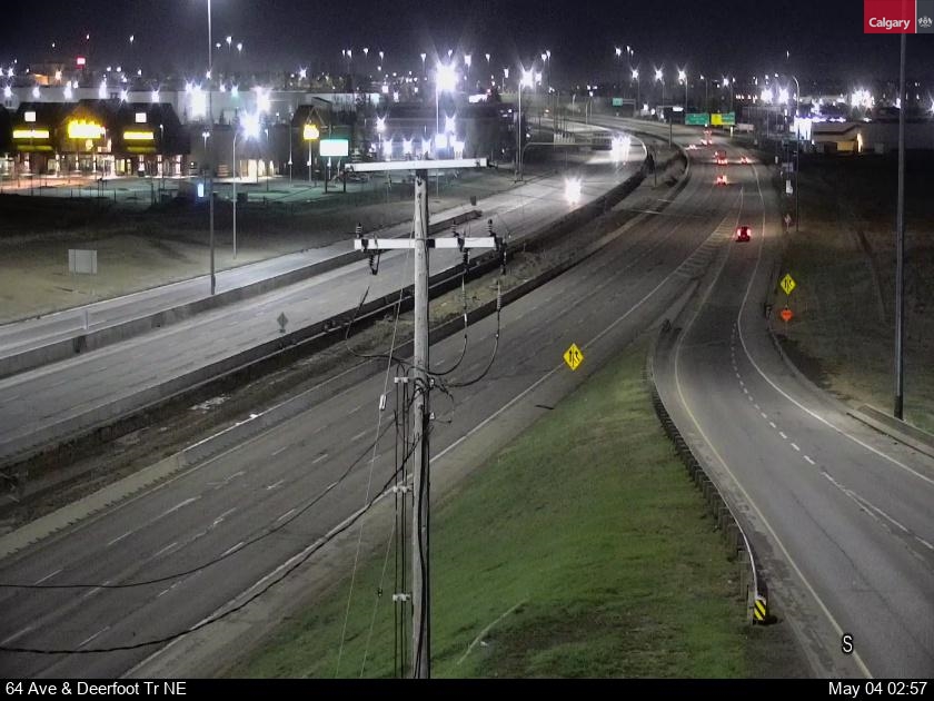 Loading camera…
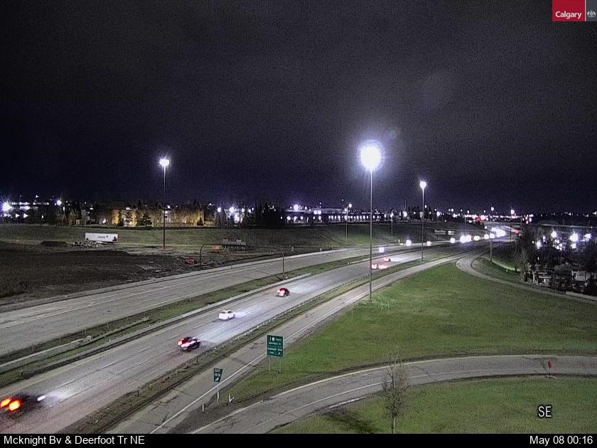 Loading camera…
 Loading camera…
 Loading camera…
 Loading camera…
 Loading camera…
 Loading camera…
 Loading camera…
 Loading camera…
 Loading camera…
 Loading camera…
 Loading camera…
 Loading camera…
About the Deerfoot Trail cameras
Deerfoot Trail is one of the busiest roads in Alberta, and a single crash or a bit of snow can back it up for kilometres. The interchanges at Glenmore Trail, Memorial Drive and McKnight Boulevard are the usual trouble spots. Heading out of town? See the QEII north to Airdrie or Highway 2 south to Okotoks.
Every picture reloads itself about once a minute while it is on your screen, so there is no need to refresh the page.
Driving in a Calgary snowstorm
When snow hits Calgary, the trouble spots are the hills and interchange ramps – Deerfoot Trail at Glenmore, Memorial and McKnight, the Crowchild and Bow Trail ramps, and Stoney Trail’s long ramps. Look at the cameras along your whole route before you leave, allow extra time, and check 511 Alberta for collisions and closures. In a bad storm the City may declare a snow route parking ban; see calgary.ca.