TrafficCalgary.ca › Airport & NE Calgary
Airport & NE Calgary
Airport Trail, Country Hills, McKnight, Barlow & Metis Trail
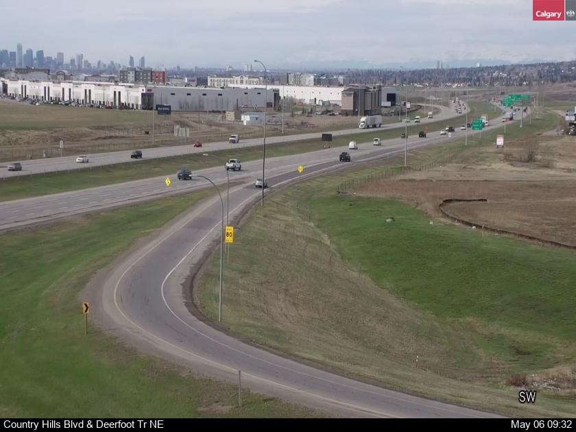
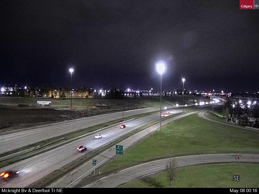
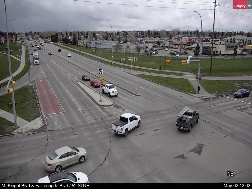
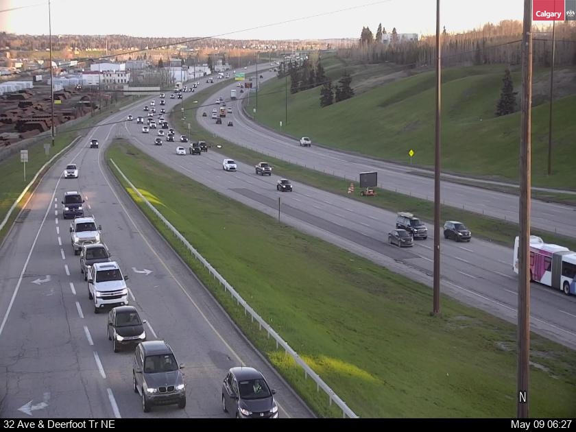
Live traffic cameras on the roads around Calgary International Airport (YYC) and the NE industrial and residential areas – Airport Trail through the tunnel under the runway, Country Hills and McKnight Boulevards, 32 Avenue, Barlow Trail and Metis Trail, each in order along the road.
Airport Trail
 Loading camera…
 Loading camera…
 Loading camera…
 Loading camera…
Country Hills Boulevard
 Loading camera…
 Loading camera…
 Loading camera…
 Loading camera…
 Loading camera…
 Loading camera…
 Loading camera…
 Loading camera…
 Loading camera…
 Loading camera…
McKnight Boulevard
 Loading camera…
 Loading camera…
 Loading camera…
 Loading camera…
 Loading camera…
 Loading camera…
 Loading camera…
32 Avenue NE
 Loading camera…
 Loading camera…
 Loading camera…
 Loading camera…
Barlow Trail
 Loading camera…
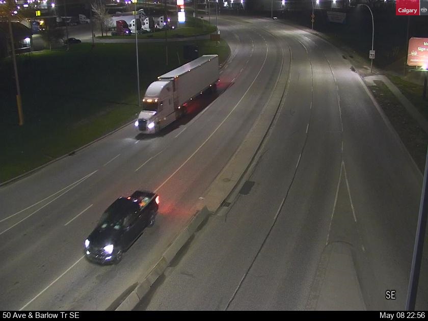 Loading camera…
 Loading camera…
 Loading camera…
Metis Trail
 Loading camera…
 Loading camera…
About the airport and NE cameras
Going to YYC? Airport Trail from Deerfoot and Barlow Trail are the main ways in, and Country Hills Boulevard and Metis Trail come in from the north and east. Check them before a flight – snow and Deerfoot crashes can add a lot of time.
Every picture reloads itself about once a minute while it is on your screen, so there is no need to refresh the page.